My favorite definition of “white lie” is from a British dictionary: “a minor or unimportant lie, esp. one uttered in the interests of tact or politeness.” Though my lies about where I hunt on public lands are hardly minor or unimportant to me, in the grand scheme of things they don’t harm anyone. And they are certainly tactful.
Consider my conversation with an old friend recently when I told him about a hotspot I found on public land. This place has a hundred rubs clustered over a few acres where the terrain funnels deer movement from half a mountainside up into a bedding area.
“And that’s on public land? Awesome. Where? I have a friend who—”
I cut him off: “No, impossible. The only realistic access point is over private land, and I’m lucky to have permission to cross …”
A white lie, of course, but anything less would have given up my hard-earned spot or damaged our friendship. After all, if he can make a tactless error like that then there’s no way I could make him understand why I am unwilling to tell him about a hunting spot on public land.
Last season I killed a beautiful 8-point with my bow on an inside corner of public land; last spring I killed two gobblers on a back corner of public land. This is normal for me, but I always tell people I filled the tags on some private parcel located in some distant town. I’ve learned to avoid playing the jerk who just won’t tell a good friend where the great spots are located on public land. (Of course, now that I’m putting this in print, I’m going to have to laugh it off with a few friends who hunt!)
Regardless, I justify this by telling myself it’s really their fault for asking. That’s a blunder in etiquette on their part, and anyway, finding such spots just takes a little know-how. Here are a few things to note.
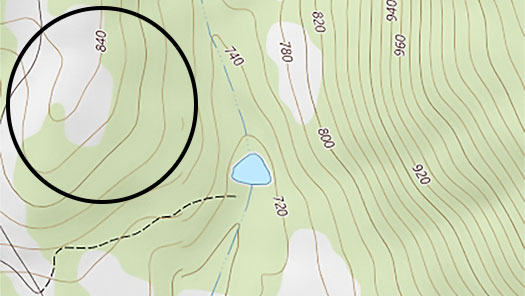
Inside Corners
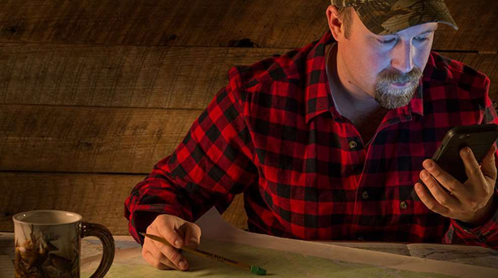
Start with Google Earth and a topographic map of the public area. Check out mytopo.com, a mapping service based in Montana that makes customized topos and aerial photos of user-selected areas. Maptech’s Terrain Navigator Pro is another old, but great, product that provides topo maps and aerial photos side by side (it even has a 3-D option). But it’s cheaper to first start with Google Earth, which is free, and low-cost topos from the U.S. Geological Survey (USGS) or another source such as one of the many apps for mobile devices.
Inside corners are those spots people walk right by as they enter public land. These are often found behind homes or farms, or are thickly wooded areas paralleling public roads. A topo map showing public-land boundaries is the easiest place to see inside corners. Aerial photos will give you a better idea of the cover.
For deer hotspots you want thick escape cover located in places that trails and other access options bypass. Mark the parking areas on the map, and then look to the left and right of them. Sometimes a piece of public land cuts away from the main section as it follows riparian areas or other rough terrain some farmer never claimed. These are hotspots. They are even better if you have to cross a swamp or other terrain feature to get to them.
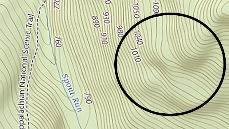
Back Corners
My best turkey hotspot is a back corner. It’s actually not far off a trail in a very over-hunted area of the country, but it’s a hike to get there and it isn’t obvious. On the west side of the trail the terrain flattens out and soon becomes private farmland. On the east side there is a series of small cliffs at the foot of a mountain, but over the cliffs are small valleys and hardwood ridges. It’s a hidden 100 acres that always has toms.
Back corners often require a hike in, but they are not good simply because they take forced marches to get to them—some other nut will also be willing to do that. They also must be hidden in the terrain. Whether you realize it, many public areas have spots like this. From a distance, forested terrain often looks like a large, uniform section, but when you hike onto the tree-covered back of a mountain or navigate along a low ridge between swamps, you’ll find the terrain quickly spreads out as ridges, oak benches and laurel thickets decompress.
This can be disconcerting, as attempting to see the big picture from inside the terrain can be as hard as seeing the way out from inside a corn maze. So you must use maps in concert with scouting missions to understand the types of cover and the subtle variations within the terrain. By doing this you’ll begin to piece together how deer, turkeys and other game use the cover—and how other hunters do, too.
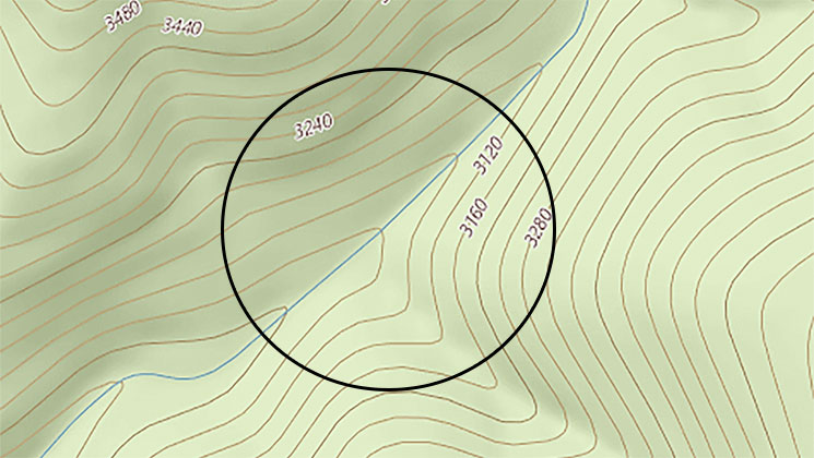
Terrain Pockets
Neither topo maps nor aerial photos are very good at exposing small meadows, thickets and other pockets that offer security cover and browse for deer. Features like these that are less than a quarter-acre in size are plenty large enough to attract deer, but the canopy can hide them from above. You need to put boots on the ground to find them. Before you hike in, however, a savvy trick is to look over USGS geological maps for soil differentiations and land-use changes. Still, all you can really hope for are indicators that you’ll have to check out on foot. When, for example, a mountain stream hits relatively flat ground for a few hundred yards between areas with steeper terrain, then it likely has good cover and forms a funnel deer are using.
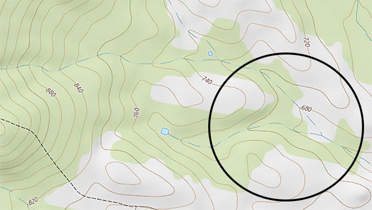
Strips of Cover
These are obvious on both aerial photos and topos, but are still often overlooked, as many hunters assume strips of cover on public land won’t hold game. Most hunters want to go into the bigger sections. Well, any savvy whitetail hunter can tell you that all a mature buck needs is a small area of security cover, a place where no one goes, to be happy and content all day. As long as a buck’s hormones don’t pull him out of that spot in daylight, the buck might live long and prosper—unless, of course, you hang a stand to target the spot.
Quick Tip: Scout Now!
The best time to scout for overlooked hotspots on public land is right now, before the trees leaf out and the vegetation springs from the ground. Trails will be obvious, and before green-up you can even still clearly see last fall’s rut sign. And be on the lookout for shed antlers—they let you know exactly where a buck was traveling.