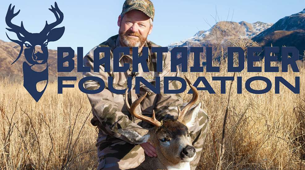
The Blacktail Deer Foundation (BDF) has released a new report titled A Restoration Mapping Framework: To Improve Sitka Black-tailed Deer Habitat in Southeast Alaska. Developed in partnership with the U.S. Forest Service, the Alaska Department of Fish and Game and other conservation partners, the report is a detailed guide for active forest management in young-growth forest stands throughout Southeast Alaska on lands managed by the Tongass National Forest and other landowners.
It focuses on areas where deer habitat restoration is a priority and where previous harvest has left road infrastructure in place. The report also identifies where management can increase and sustain Sitka black-tailed deer populations, support the state's forest products industry, and expand access for hunting and subsistence traditions.
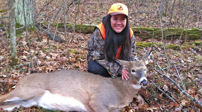
“Black-tailed deer hunting is ingrained into the social fabric of Southeast Alaska for local Native communities and sport hunters alike,” said Steve Belinda, BDF chief conservation officer. “Forestry drives the economic well-being of local residents and provides forest products to markets worldwide. By using active forest management to harvest young-growth timber, grow deer populations, and improve hunter access, we can achieve a genuine win for wildlife, communities, and the economy.”
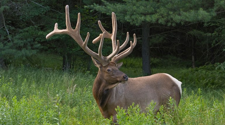
Historical logging and forest management practices in Southeast Alaska have altered both the ecological conditions that sustain Sitka black-tailed deer populations and the social fabric of remote communities that depend on them. Many previously harvested stands have regrown into dense, closed-canopy conditions that suppress the understory vegetation deer depend on for food.
The report fills an information gap in conservation efforts and forest restoration by providing a comprehensive, long-term framework for active forest management in the region. Strategic thinning and forest management will increase local deer populations, provide sustainable forest products for local markets, and strengthen the long-term resilience of subsistence hunting communities across Southeast Alaska.
The report’s framework integrated Geographic Information Systems (GIS) with the latest Light Detection and Ranging (LiDAR) remote sensing technology to layer key data and resource values and identify priority areas. The analysis combined forest stand data, existing road infrastructure and access, and deer behavior and hunting patterns to pinpoint where habitat restoration can be most effectively and efficiently implemented. This includes increasing opportunities and access to subsistence and sport hunting.
The result: roughly 80,000 acres across 42 watersheds on federal, private, tribal and state lands in Southeast Alaska were identified as high priority for treatments without requiring new infrastructure or construction. Of particular significance is Prince of Wales Island (POW)—the site of much of the region’s historic logging that is now experiencing serious deer population declines. The report identified 43,000 priority acres on POW alone. BDF is planning its first projects on Prince of Wales Island.